NCW Contributes to New High-Resolution Mapping of the Saudi Red Sea Seabed
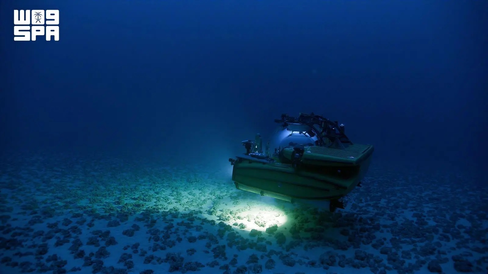
The National Center for Wildlife (NCW) contributed to a scientific study providing high-resolution data on the topography of the Saudi Red Sea seabed. The study draws on data collected during the center’s 2022 Journey of the Decade expedition, conducted with local and international research partners.
Published in Earth System Science Data, the study presents a dataset that helps address a longstanding gap in detailed seabed maps of the Red Sea. The data provide a scientific basis for studying marine habitats, analyzing seabed features, and supporting marine spatial planning.
Researchers from NCW, King Abdullah University of Science and Technology (KAUST), and OceanX, an organization specializing in ocean exploration and marine research, contributed to the study.
The research is based on marine surveys covering approximately 860 kilometers along the Saudi coast. Surveyed depths ranged from about two meters in shallow coastal waters to more than 2,460 meters in deeper areas.
CEO of NCW Dr. Mohammad Qurban, who is also a co-author of the study, said the publication is one of the scientific outputs of the expedition and demonstrates the value of marine exploration in advancing knowledge of the Red Sea.
“This study makes field data collected during the expedition available as an open, high-resolution scientific resource. It expands our understanding of the Red Sea seabed, supports research into the relationship between seabed topography and marine habitats, and provides a foundation for future studies, surveys, and marine spatial planning,” he said.
He added that making the data available to researchers and specialists will support scientific knowledge of the Red Sea and contribute to international research on seabed mapping, marine habitats, and science-based management.
The study produced digital models of seabed depths across a total area of 49,418.7 square kilometers. Researchers processed data from 2,863 survey lines collected using multibeam sonar systems. The models have a spatial resolution of five meters in shallow waters and 40 meters in deep waters. Before this study, detailed public data on the seabed in this area were limited compared with other parts of the Red Sea.
The maps show a range of seabed features, including canyons and submarine slopes, as well as landforms associated with erosion, slope failures, and submarine landslides. They also reveal structures linked to salt movement, volcanic and tectonic features, evidence of lava flows, and fields of seabed depressions associated with fluid release from beneath the seafloor.
The dataset can support research into the Red Sea’s geomorphology and its relationship to marine habitats. It can also be used to map seabed habitats and study their distribution, analyze seabed topography, plan future surveys and exploration, and inform marine spatial planning.
The data contribute to the international Seabed 2030 project, which aims to map the world’s ocean floor. They add high-resolution information for an area of the Red Sea that has been less represented in global mapping products.
Researchers processed and calibrated the data and conducted quality checks in accordance with the International Hydrographic Organization’s IHO S-44 standards. Validation results showed consistent performance of the survey systems in shallow and deep waters throughout the expedition, supporting the reliability of the resulting models.
The dataset is openly available to researchers and specialists in standard geospatial formats compatible with a range of spatial analysis systems. Its publication extends the scientific outputs of the Journey of the Decade expedition and strengthens the representation of the Saudi Red Sea in global marine databases and maps.